Also called: preliminary sources study, site reconnaissance
How it is done
- Define what the investigation must answer before collecting anything: the likely foundation types and loads at each support, and the open questions (rock head, soft layers, groundwater, scour, seismic hazard).
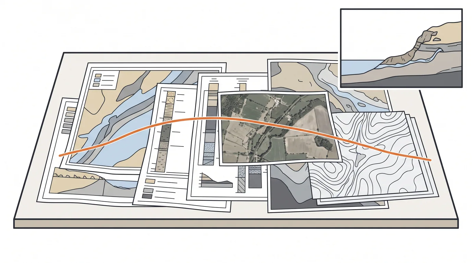
- Collect published geology and hydrogeology, and every edition of historic maps and aerial or satellite imagery, to find old river channels, ponds, quarries, landfill, mining, reclamation and past slope movement.
- Retrieve earlier ground investigations and as-built foundation records within a few hundred metres, including nearby bridges; convert old logs to the current classification system and to the project datum before using them.
- Assemble hydraulic, marine and seismic data: flood records, channel migration, tide and surge levels, navigation channels, inspection and scour records of existing bridges, fault maps and seismic hazard studies.
- Check constraints that drive the intrusive work: buried services, unexploded ordnance where relevant, contamination, protected habitats and archaeology, land access, and routes for rigs, barges and jack-ups.
- Walk the alignment with the engineering geologist: outcrops, springs and seepage, sinkholes, slope movement, scour and cracking at nearby structures, and access points; photograph and log each observation with its position.
- Draw the preliminary ground model as a section along the alignment with stated uncertainties and a hazard register, then specify the intrusive investigation (positions, depths, tests) so that each hole closes out a named hazard.
Key numbers
- Duration1–4 weeks of desk work; utility, archive and permit requests can take 4–8 weeks, so issue them first.
- Search radius for earlier ground recordstypically 250–500 m around the alignment, wider for regional geology and seismicity.
- Historic maps and imageryevery available edition; in many countries this gives 100 years or more of land-use history.
- Total ground investigation spend on bridgescommonly 0.5–2 % of construction cost, more over water and in karst.
Where it fits
- Every project, before a single borehole is priced.
- Sites with a history: old river channels, mining, reclaimed land, karst.
Where it does not
- Treating it as a formality. Most ground surprises on bridges were visible in the desk study.
Choosing it
- Do a desk study and walkover on every project; the only choice is its depth, which should grow with the number of supports, the site's history and the cost of a late surprise.
- Extend it with remote sensing and river morphology studies when the channel has migrated, the land was reclaimed, or mining or karst is mapped nearby.
- Prefer an early, limited intrusive phase at the main pier sites over a longer desk study when no records exist, for example offshore or in remote valleys.
- Prefer a geophysical pass along the whole alignment before drilling when the records are thin and the alignment is long.
Plant, pace and money
Risks and controls
What goes wrong
- Old borehole logs use different standards and datums; convert before comparing.
- Filled ground and buried channels rarely show on modern maps.
Quality assurance
A ground model with stated uncertainties and a list of hazards each borehole is meant to close out.
Origins
Formalised in British practice by BS 5930 (first edition 1981) and in Eurocode 7, and argued for by the UK Site Investigation Steering Group's 1993 guidance; the emphasis on a written geological model owes much to Fookes' 1997 Glossop Lecture.
Examples
Reclaimed coastal sites in the Gulf where sabkha and cemented crusts alternate within metres; alluvial rivers in Korea and Japan where the channel has moved several times in a century.
Case studies
Related methods
Further reading
Eurocode 7 Part 2 (ground investigation and testing) · AASHTO LRFD Section 10.4 · BS 5930 site investigation code · BS 5930:2015+A1:2020 Code of practice for ground investigations · Fookes (1997) Geology for engineers: the geological model, prediction and performance (Glossop Lecture) · Site Investigation Steering Group (1993) Site Investigation in Construction · FHWA GEC 5 Geotechnical Site Characterization